Navigation
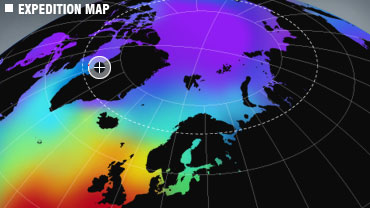
Follow the Cape Farewell expedition to the Arctic, the frontline of climate change, with over 40 artists, scientists and musicians including Jarvis Cocker & Ryuichi Sakamoto. 25 Sept to 6 Oct 2008.
Popular Posts
View posts by
- Carol Cotterill (16)
- Chris Wainwright (2)
- David Buckland (9)
- David Noble (9)
- Emily Venables (17)
- Feist (6)
- Francesca Galeazzi (7)
- Graham Hill (2)
- Hannah Bird (5)
- Jarvis Cocker (15)
- Joe Smith (14)
- Jonathan Dove (2)
- Jude Kelly (3)
- Julian Stair (3)
- Kathy Barber (10)
- KT Tunstall (21)
- Laurie Anderson (3)
- Lemn Sissay (12)
- Lori Majewski (4)
- Marcus Brigstocke (9)
- Martha Wainwright (9)
- Matt Wainwright (13)
- Michèle Noach (4)
- Mojisola Adebayo (3)
- Nathan Gallagher (23)
- Nicole Krauss (2)
- Peter Gilbert (2)
- Quentin Cooper (6)
- Robyn Hitchcock (8)
- Ruth Little (3)
- Ryuichi Sakamoto (6)
- Sam Collins (3)
- Shlomo (10)
- Simon Boxall (7)
- Sophie Calle (1)
- Sunand Prasad (11)
- Suzan-Lori Parks (8)
- Tracey Rowledge (2)
- Vanessa Carlton (6)
- Vicky Long (5)


