Follow the Expedition
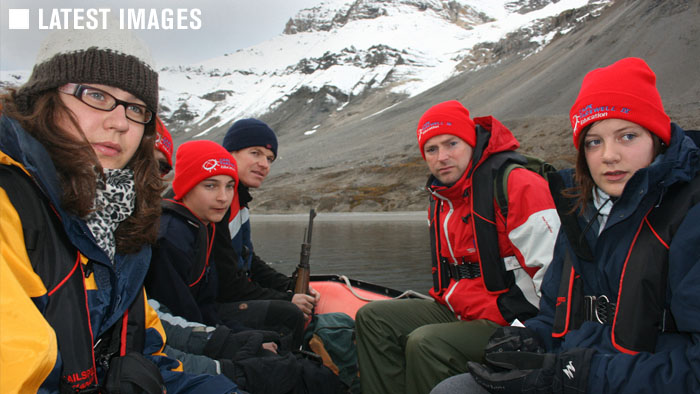
Follow our route on the map as we plot our journey in text, images, sound and video, broadcast back by satelite directly from the deck of the Noorderlicht. We voyaged north of the 78th parallel to the fragile extremes of Svalbard in the High Arctic to investigate and raise awareness of the impacts of climate change. Sailing from Longyearbyen to Ny-Alesund, we lived and worked together for 10 days on the sailing schooner Noorderlicht, returning to Longyearbyen in time to see the Greenland Voyage set sail.
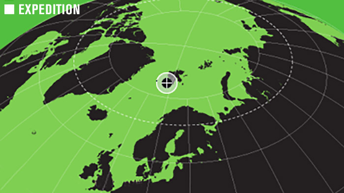
About the Map
Click and grab or use the controls to naviage the map. It’s powered by Google Maps and Geo Mashup. We hope you enjoy it! The areas in the High Arctic we are voyaging to are remote and there are limits to the map detail available. Zoom in too far and you’ll reach a point where there is no map detail – just zoom out a bit. This is a great tool, but not all web browsers will run it perfectly. If your browser has problems displaying the map information we’re very sorry, but for everyone else enjoy!